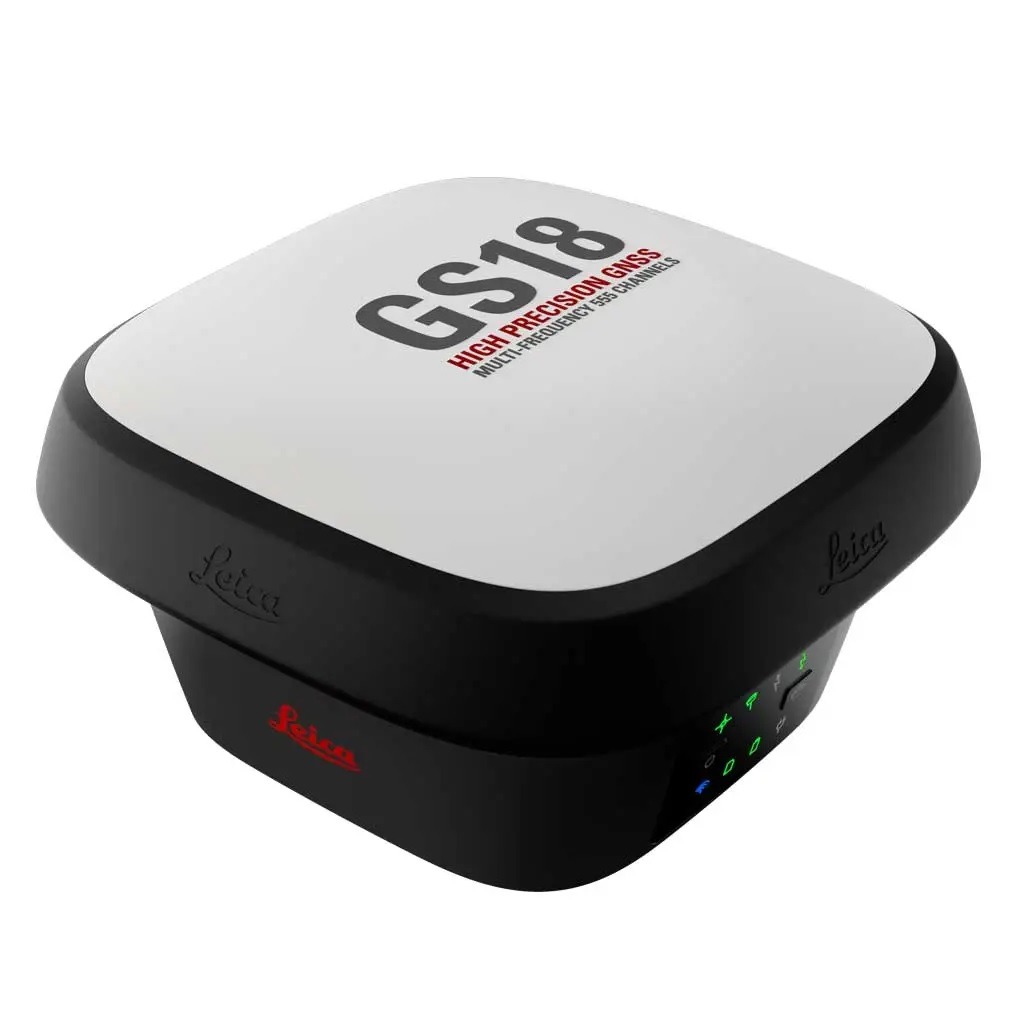
Sensor fusion of GNSS, IMU and a camera come together to create Visual Positioning technology, resulting in a GNSS RTK rover so powerful that it enables you to measure what you see. GS18 I has all the functionality of the Leica GS18 T: in addition to Visual Positioning, users can for example map points with either tilted or levelled pole.
– Measure points with obstructed view to the sky more efficiently and easily. – Capture points you couldn’t reach before with a GNSS rover. – Gain more flexibility and control, with no need to use additional time-consuming equipment. – Map hundreds of points with survey-grade accuracy within minutes. – Capture the scene quickly and decide later, what should be measured – even if the scene subsequently changes or disappears. – Tap on an image to measure a point in the field or in the office. – Quick and thorough so you catch every detail.
For more information, please contact us or visit our website at https://www.cerisky.com/products/total-station/leica-gs18-i-gnss-rtk-rover/

 Safe and secure payments using Abraa safe trade systems
  \
\